Canadian High Arctic

Canadian Arctic Cruises & Expeditions

Rugged Wilderness Awaits You

Population
114,000
Size
550,000 square miles (1,424,500 square km)
Terrain
Mountains, tundra, and water
Overview

Overview

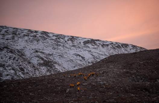
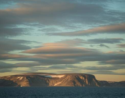
The Canadian High Arctic is massive. Canada has more land mass in the Arctic region than any other country – but relatively little population base. Canada’s High Arctic includes lands in Northwest Territories, Yukon and Nunavut. There are more than 35,563 islands in the remote Canadian Arctic Archipelago, of which Baffin Island, the fifth-largest island in the world, is just one. Canada’s High Arctic territory is bounded on the east by the Beaufort Sea, on the northwest by the Arctic Ocean, and on the east by Greenland, Baffin Bay and Davis Strait. Its southern boundary is the Hudson Bay and mainland of Canada. This translates into endless mountains, glaciers, tundra, remote rocky shorelines, towering granite cliffs, and unending bodies of water to explore. The wildlife viewing is astounding: polar bears, grizzly bears, muskoxen, beluga whales, harp seals, walruses, and migratory birds, among other species.
Start Your Adventure Contact Us
Overview

Destination Highlights

Iqaluit

A journey to Iqaluit, the capital of Canada’s youngest territory of Nunavut, is simultaneously a study of Inuit culture. About 85% of Iqaluit’s population of 7,740 are Inuit. Nunavut has supported a continuous indigenous population for over 4,000 years. Visitors who make the trip to nearby Qaummaarviit Territorial Park, a tiny island12 kilometers (seven miles) west of Iqaluit, can view archaeological remains of the ancient Thule people, who were ancestors of the Inuit. The area around Iqaluit is marked by ice-capped mountains and tundra valleys, which are home to abundant caribou and Arctic foxes.

Pond Inlet

First-time visitors to the remote hamlet of Pond Inlet never know where to point their cameras — at the fjords, glaciers, icebergs, or large pods of narwhal. Located on the northern tip of Baffin Island near the eastern entrance to the Northwest Passage, Pond Inlet is also known by its Inuktitut name, Mittimatalik. The traditional Inuit settlement of 1,600 people overlook Eclipse Sound and the mountains of Bylot Island, a migratory bird sanctuary.

Pangnirtung

Pangnirtung, called ‘Pang’ for short, resonates with adrenaline-seekers and art-lovers alike. The Inuit hamlet of 857 people, located 50 kilometers (31 miles) south of the Arctic Circle at the north end of Cumberland Sound, is known for its traditional Inuit hand-woven tapestries and lithographic prints. Also, because Pangnirtung Fjord is the southern gateway to the Auyuittuq National Park, the town attracts legions of hikers, climbers, and skiers. Polar history buffs frequently make a day trip to nearby Kekerten, an uninhabited island that was a major whaling destination in the 1800s.

Beechey Island National Historic Site

Anyone with a passion for studying the lives and achievements of early polar explorers will have Beechey Island on their bucket list. Situated in Lancaster Sound off the southwest corner of Devon Island at the entrance to Wellington Channel, Beechey Island is the final resting place of three members of Sir John Franklin’s ill-fated 1845-46 expedition to find the Northwest Passage. The graves, on a remote windswept beach, were discovered in 1851.

Top Things to See

Cape Dorset

Cape Dorset

For anyone keen to learn first-hand the wonders of Inuit art, the hamlet of Cape Dorset, located on Dorset Island at the southern tip of Baffin Island, is a must-visit. Widely regarded the Inuit art capital of the world, Cape Dorset also entices nature-lovers with its breathtaking Arctic landscapes and abundant wildlife (migratory caribou, seabirds, whales, seals and walruses), especially in nearby Mallikjuaq Territorial Park.

Tallurutiup Imanga

Tallurutiup Imanga

Also known as Lancaster Sound, Tallurutiup Imanga is often described as the “Serengeti of the Arctic” because of its rich biodiversity. Polar bears, seals, walruses, narwhals and migratory birds are abundant in Tallurutiup Imanga. In 2017, the Government of Canada (Parks Canada), the Nunavut Government and the Qikiqtani Inuit Association signed a landmark agreement to establish Tallurutiup Imanga - Lancaster Sound National Marine Conservation Area (109,000 square kilometers), making it Canada’s newest and largest marine protected area.

Cape Mercy

Cape Mercy

History buffs appreciate the significance of Cape Mercy, which is located at the southern tip of the Cumberland Sound in Nunavut. Cape Mercy was named by British explorer John Davis, who sailed through this part of the Arctic in 1585. Fast-forward several centuries to the 1950s when Cape Mercy was chosen as the site of a Distant Early Warning Line installation, which was part of a system of radar stations set up during the Cold War to detect incoming Soviet bombers.

Points of Interest

Resolute
Resolute

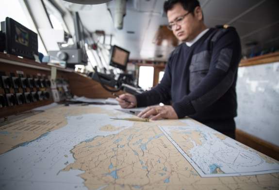
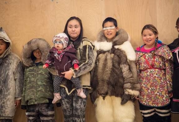
The Inuit call it Qausuittuq, which means “place with no dawn,” in reference to the long winter night. The Inuit hamlet of Resolute (population: 188) on Cornwallis Island in Nunavut has long been valued for its prime location along the Northwest Passage. It was named for the British vessel, HMS Resolute, which was abandoned in 1850 while searching for the Northwest Passage and the lost Franklin expedition. The surrounding regions is offers excellent wildlife viewing, much of it in nearby Tupirvik Territorial Park: polar bears, beluga whales, seals, walruses and migratory birds.
Resolute
Grise Fjord
Grise Fjord

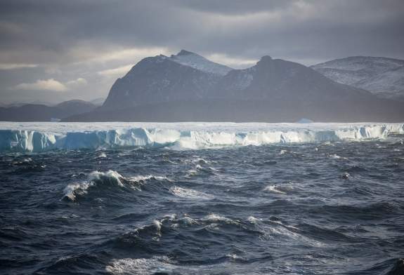
Its population numbers a mere 129 people, yet the Inuit hamlet of Grise Fiord  is the largest community on Ellesmere Island. It’s also reportedly one of the coldest inhabited places on the planet with an annual average temperature of −16.5 °C. The word ‘Grise’ is Norwegian for ‘pig.’ It’s long been speculated that Norwegian explorer Otto Sverdrup named this place ‘pig fiord’ in 1899 in a nod to the grunting pig-like noises of the walruses. Despite the constant sunshine 24 hours a day from April through August, Grise Fjord never really warms up.

Grise Fjord
Qikiqtarjuaq
Qikiqtarjuaq

It’s the iceberg capital of Nunavut. The Inuit community of Qikiqtarjuaq (which means “the big island” in Inuktitut) is located just north of the Arctic Circle, on Broughton Island. Fondly called Qik, the hamlet is known for its Inuit artwork, crafts and jewellery.

Qikiqtarjuaq

When to Go

Preferred Season for Snow and Ice

June to mid-July. This is the best time to see ice and snow. The midnight sun has not yet melted the ice, so polar bears and walrus will be hunting on the ice edge. Birds are returning to breed.

Preferred Season for Navigation

Late August and September. Places like Baffin Island will have less ice at this time which makes it easier to reach seldom-visited and remote destinations.

Special Insights from Our Guests

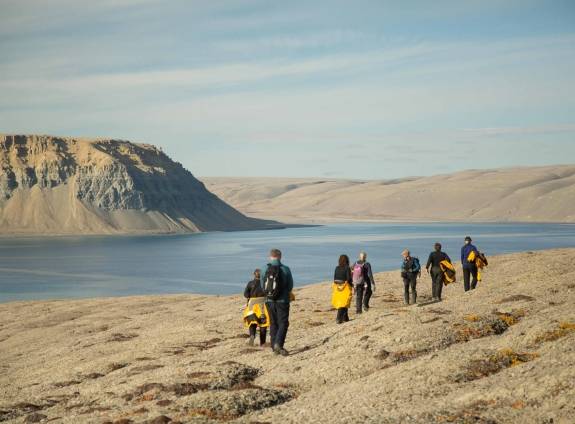
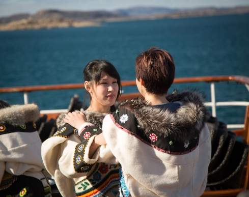
We explored the Far North, discovering an Arctic world with wonderful new friends and grand daily adventures. We attended lectures, jumped into zodiacs for new shores, walked on the ice pack, learned about northern life and its peoples, and shared vibrant conversations at meals. Hotel staff very hospitable and expedition staff wise and fun. An outstanding adventure was had.
— Guest

Discover Your Next Adventure

The Canadian High Arctic is waiting to be explored. Browse all of our expedition options exploring the Northwest Passage.